Life Along The Doe River In Elizabethton
February 26, 2026
February 26, 2026
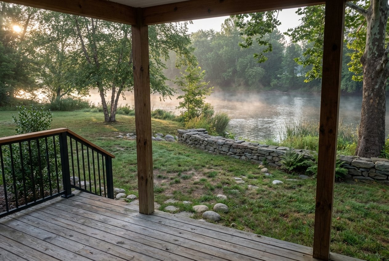
What does a day feel like when you live beside a mountain river that runs straight through a historic small town? If you are eyeing Elizabethton, the Doe River shapes more than the view from your porch. It sets your routine, your favorite walking routes, and even your weekend plans. In this guide, you’ll learn what life along the Doe looks like, from parks and paddling to neighborhoods, pricing context, and smart flood due diligence. Let’s dive in.
The Doe River rises near Roan Mountain and flows through Hampton and Valley Forge before joining the Watauga River in downtown Elizabethton. Much of downtown sits within a short walk of this confluence, so the river becomes a daily backdrop for errands, coffee runs, and evening strolls. You’ll also find the 1882 Elizabethton Covered Bridge anchoring the riverfront within a central park setting, a landmark that frames many local events and photos documented in town overviews and historic resources.
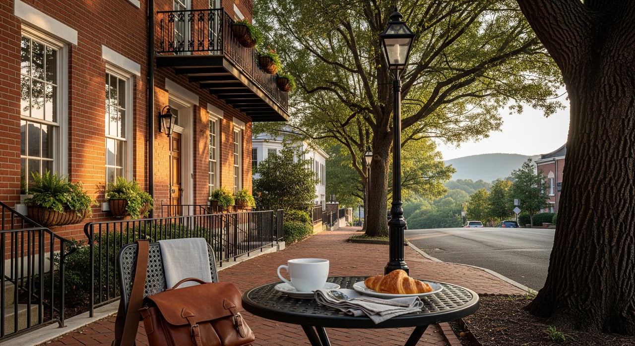
River-adjacent streets connect quickly to landmarks like Sycamore Shoals and the Carter Mansion, along with the Covered Bridge and small downtown blocks. The neighborhood fabric reflects that long history with older homes on compact lots, mature trees, and small commercial buildings that support daily needs. If you love being able to walk to a picnic, a free concert, or a seasonal festival by the water, you’ll feel at home near this core. For architectural context, the Doe River Covered Bridge illustrates how the river and town history intertwine.
Anglers appreciate that the Doe supports trout fishing, with wild fish in upper reaches and supplemental stockings in select sections. Portions of the river are managed under special or delayed-harvest rules. Before you go, review the Tennessee Wildlife Resources Agency trout information and stockings for up-to-date seasons, methods, and restrictions. Nearby, the Watauga tailwater is also a well-known trout fishery, giving you multiple options within minutes of town.
The Doe offers a mix of scenic freestone water, a more technical gorge, and lower class II–III runs closer to Hampton and Elizabethton. These are shorter, engaging sections rather than long flatwater floats, and features can be technical in the gorge. For an overview of run characteristics, paddler resources outline sections and typical difficulties on the Doe River. Local groups and county partners have improved landings at places like Green Bridge Landing and Hershel Julian Landing, creating reliable put-ins and take-outs used by both kayakers and anglers. Volunteer groups also help maintain access along the corridor, including efforts highlighted by the Appalachian Paddling Enthusiasts.
If your ideal afternoon is a walk by the water or a picnic under shade trees, the downtown stretch delivers. Covered Bridge Park, Edwards Island Park, and Cat Island Park line accessible reaches of the Doe with benches, small trails, and casual greenspace. For simple planning, local guides round up river-adjacent parks and things to do in Elizabethton, including river strolls and picnic spots noted in visitor writeups. The Tweetsie Trail and Hampton Watershed Trails add bike and run options and are slated for continued expansion, which will further connect neighborhoods to the Doe and Watauga corridor over time.
Spring and summer bring paddling flows, riverside music, and community festivals like Covered Bridge Jams and Covered Bridge Days. June often lines up with rhododendron bloom at Roan Mountain, adding a regional splash to weekend plans. Fall and winter shift the pace toward crisp walks, trout tactics that change with colder water, and quieter parks. After major storms, always check park or trail notices for temporary closures.
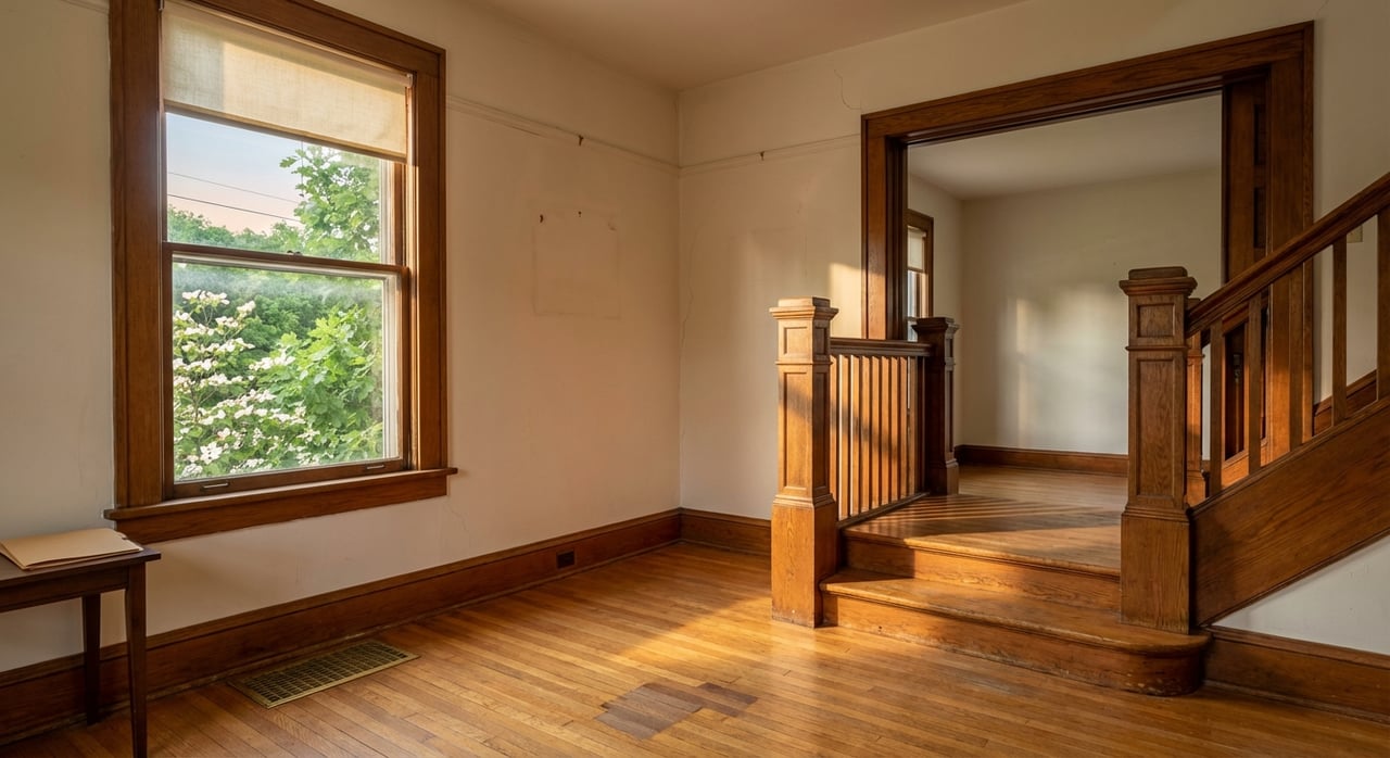
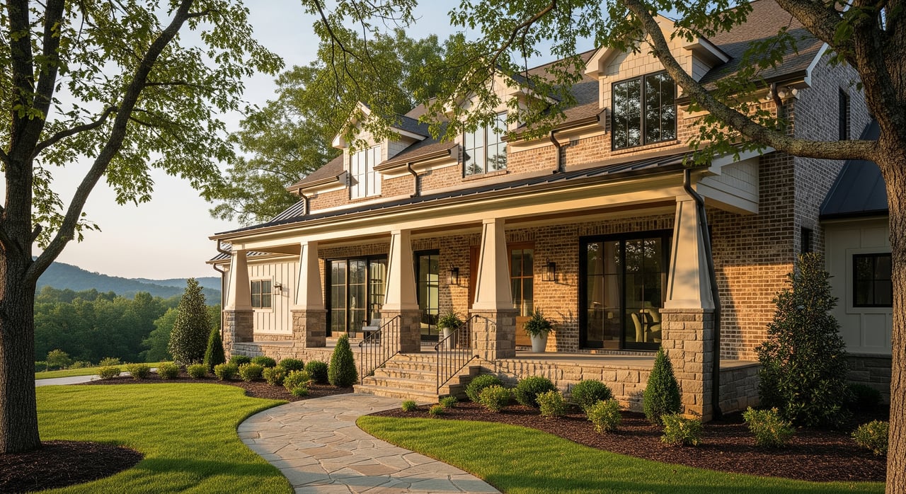
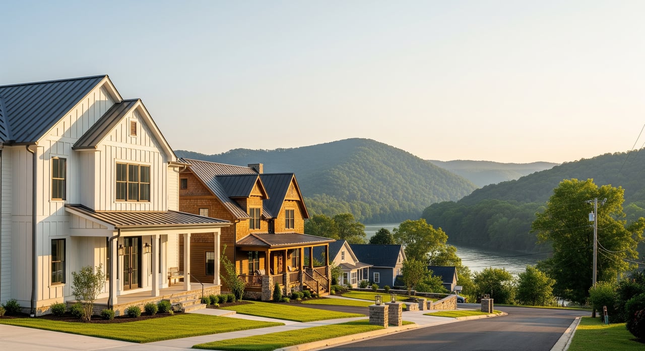
Near the river and historic district, you’ll see late 19th and early 20th century frame houses, clapboard cottages, small bungalows, and some masonry commercial-residential buildings. Lots are typically compact, with sidewalks and tree canopy giving streets a settled, walkable feel. Many homes are a few blocks from the Covered Bridge, seasonal markets, and casual restaurants, which makes it easy to swap a car trip for a stroll by the water.
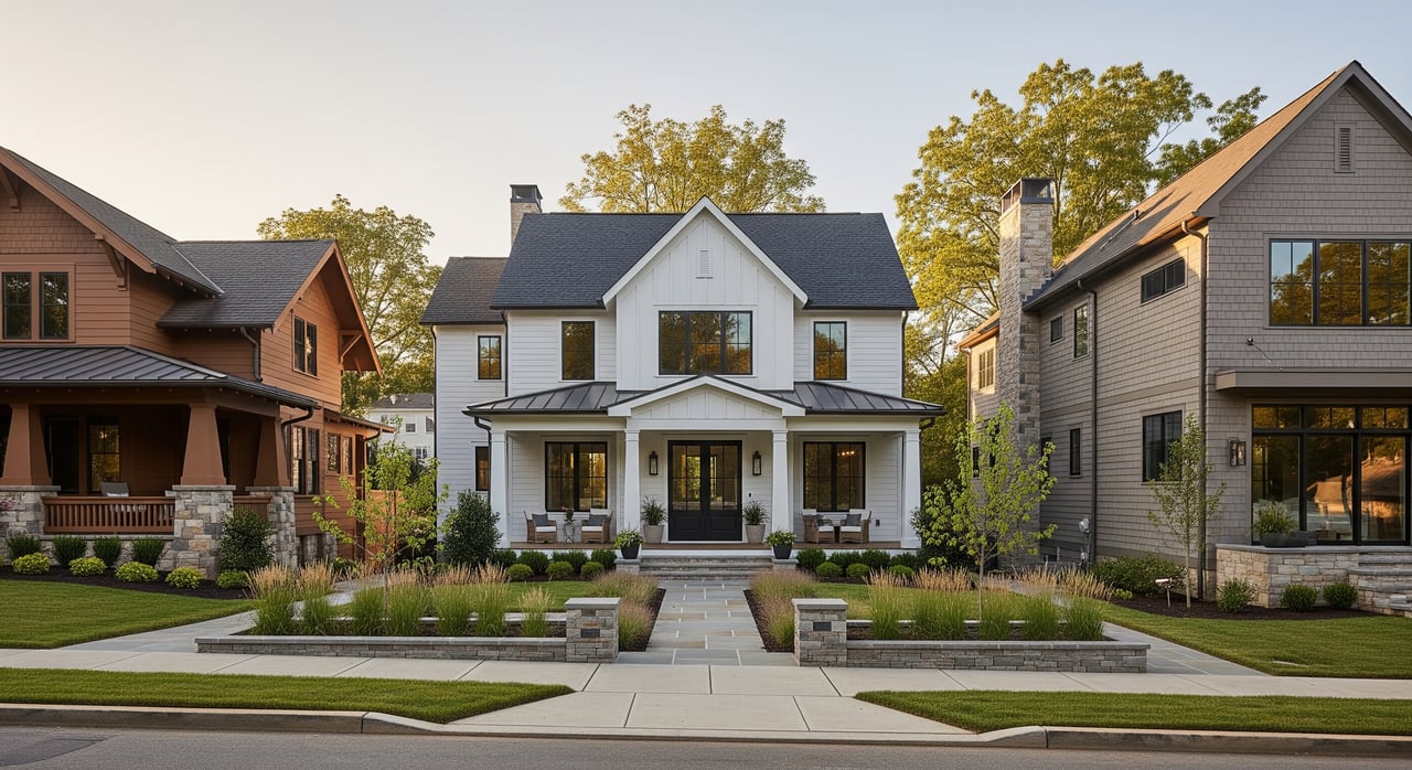
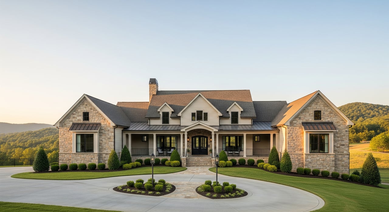
As you move outward from the river valley, housing shifts to ranch homes, newer subdivisions, and small acreage options on the ridges. If you want more land, you are more likely to find it outside the immediate riverbank neighborhoods. Across the market you’ll see a mix: move-in-ready homes, historic houses that may need updates, and occasional newer construction.
As a broad reference point, a major data provider reported a January 2026 median sale price around $268,000 for Elizabethton, though medians vary by source and month. In river-adjacent areas, pricing is sensitive to lot size, condition, and especially whether a property sits in a mapped flood zone. When you narrow to a specific block, you will want current MLS comps, floodplain status, and any elevation certificates to understand apples-to-apples value.
If you live close to the Doe in downtown, everyday needs are often a short walk. For regional services, Johnson City is roughly 8 to 12 miles away and Tri-Cities Airport is about 24 miles by car. Healthcare is available in town at Sycamore Shoals Hospital. Elizabethton City Schools operates local K-12 campuses, and you can confirm zoning and services directly with Elizabethton City Schools. Use school district resources for the latest attendance zones and transportation details.
Living along the Doe can be a terrific fit if you crave outdoor access and small-town walkability. It also comes with realities you should evaluate carefully.
What you may love:
What to verify:
The Doe and Watauga have a documented flood history. In September 2024, the remnants of Hurricane Helene produced near-record crests that damaged parks and affected parts of the river corridor. Local reporting detailed these impacts and emergency responses across Carter County and Elizabethton, underscoring why flood awareness is part of smart home shopping. You can read a summary of impacts from that event in local coverage of Helene’s flooding.
Build flood due diligence into your search from day one:
If a home is in a Special Flood Hazard Area, your lender may require flood insurance. Even when not required, some buyers choose a preferred-risk policy for added protection. Your final decision should balance river proximity with a clear understanding of risk, cost, and mitigation.
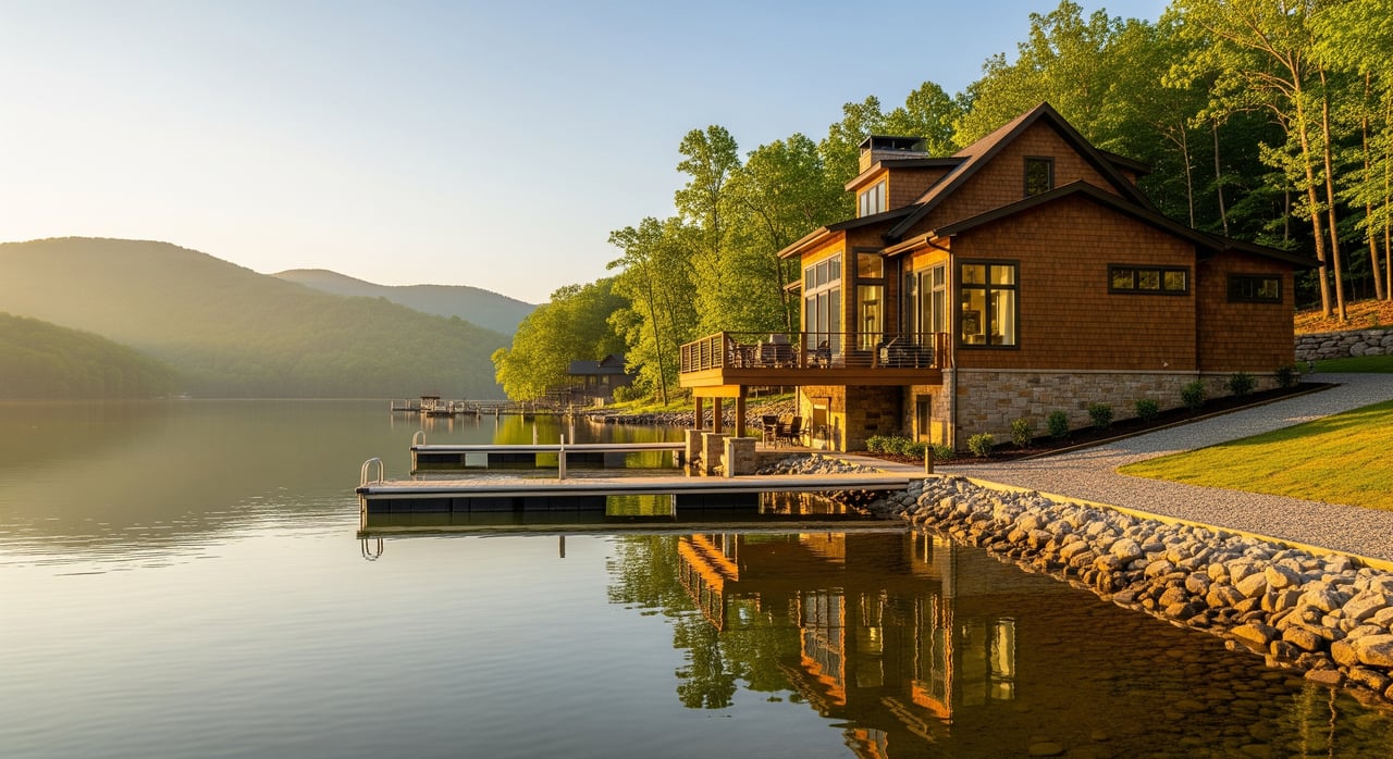
Some homes back to the Doe with direct bank views. In practice, water access is parcel-specific. In a few spots you may be very close to a public landing or park. In others, the bank is private and not suited for launching. Known public put-ins and take-outs include Green Bridge Landing, Hershel Julian Landing, and areas near Edwards Island, which are part of ongoing local maintenance efforts by groups like the Appalachian Paddling Enthusiasts. If backyard boating or fishing is important, confirm access rights in writing and map the nearest public launches before you write an offer.
Start by clarifying your must-haves. Do you want to walk to Covered Bridge Park, or would you prefer a ridge home with a short drive and wider views? Are you comfortable with a home that may require flood coverage if it delivers closer river access? Once you have that profile, preview neighborhoods on foot to see how the river fits daily life.
When you are ready to tour, bring a simple checklist:
Local guidance matters here. If you want a home that balances river access, budget, and peace of mind, connect with Donald White for neighborhood-level insight, on-the-ground tours, and a plan that fits how you actually live.
Stay up to date on the latest real estate trends.
Get assistance in determining current property value, crafting a competitive offer, writing and negotiating a contract, and much more. Contact me today.